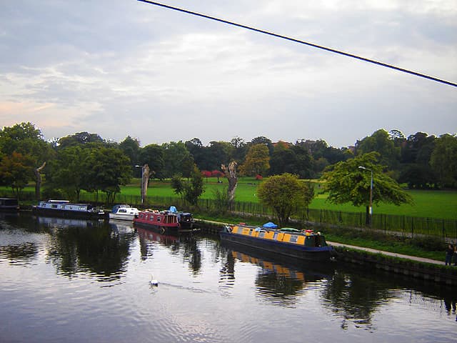
The Upper Lea Valley between Clapton and Tottenham is London's least urban stretch of river: the navigation towpath runs between the reservoirs of the Walthamstow chain on the east and the Hackney and Walthamstow marshes on the west, with almost no building visible for long stretches.
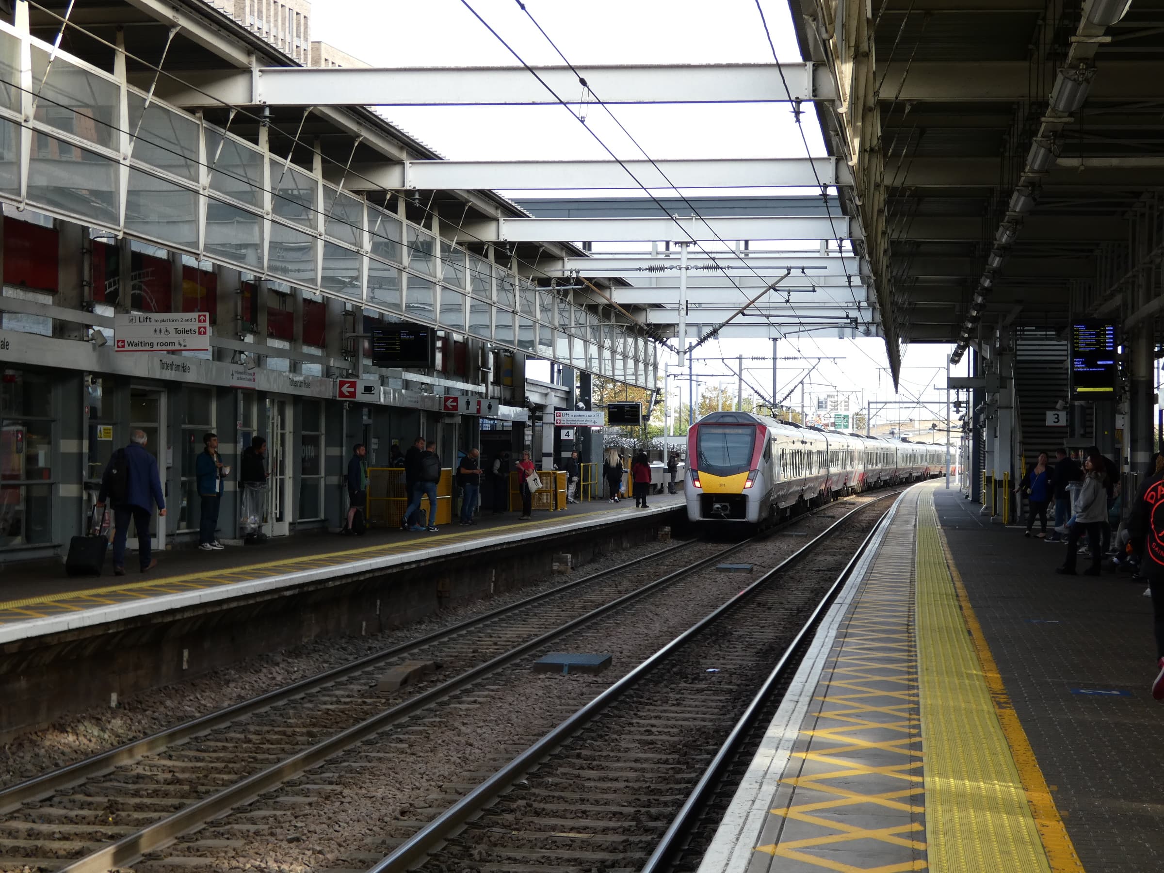
Springfield Park at the start gives you the view south before you descend to the water. The marshes at Walthamstow are SSSI-designated — traditional hay meadow, with the kind of wildlife that needs to be sought rather than stumbled on. The walk ends at Tottenham Hale, which is the sensible northern limit before the landscape changes.