Skip to content
walkwalk.
Hammarby Sjöstad: the eco-waterfront
architecturewaterfront

Hammarby Sjöstad: the eco-waterfront

The sustainable city built on old industrial land — canals, boardwalks, and a tram that loops you back.

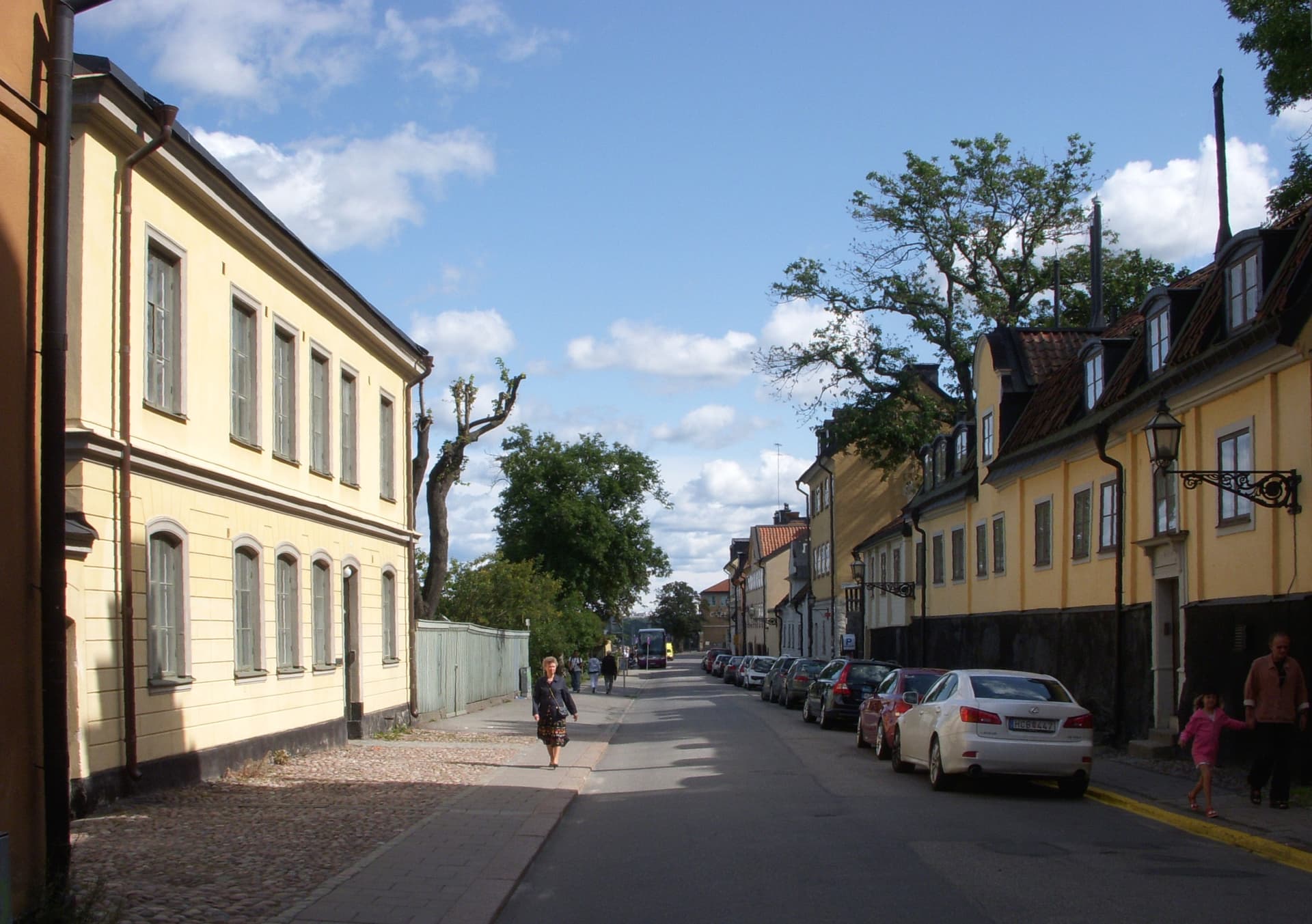
Photo: Johan Jönsson / Wikimedia Commons, CC BY-SA 4.0

Drafted by Claude — the editor hasn’t walked this one yet. We’ll update this notice once it’s been verified on the ground.

Distance

3.5 km

Time

~ 80 min

Difficulty

Easy

End

Sickla (Tvärbanan)

Best at

afternoon

Right now
21°C· Overcast

Open in Maps for turn-by-turn, or take it offline as GPX.

Hammarby Sjöstad is the argument that a city can be built well from scratch. Through the 1990s this was rail yards and oil depots on the south shore of Hammarby Sjö; from 2000 it became Stockholm's model district — apartments, canals, boardwalks and a closed-loop approach to water and waste that planners still fly in to study.

Three and a half kilometres, mostly flat, mostly on the water. Start at Luma on the Tvärbanan, where the old lightbulb factory's glazed tower marks the one survivor of the industrial years. Walk down Sjöstadsparterren, the stepped green spine, to the lake.

Then it's the strand — the shore boardwalk — east along Hammarby Sjö, with southern Södermalm rising across the water and the Sjövägen ferry stitching back to the city. The canals do the rest: Sickla Kanal, the locks where the lake steps down toward the sea, houseboats at the quays.

End at Sickla udde, the eastern point, where the Sicklauddsbron crosses to Sickla and the Tvärbanan loops you back around the south of the city.
The route

On the map.

Elevation

46 m·41 m·616 m ASL

Stops along the way

Things to notice.

  1. 01
    1

    Luma (Tvärbanan)

    Get off at *Luma* and you're already in it. The old lightbulb factory — the Luma tower with its glazed top — is the one piece of pre-2000 industry left standing; everything around it is the new city. Walk south toward the water.

  2. 02
    2

    Sjöstadsparterren

    The green spine running down to *Hammarby Sjö*. A stepped park of terraces and stormwater channels — the *sjöstad* (lake-city) wears its water management on the surface rather than hiding it underground. Walk down it slowly to the shore.

  3. 03
    3

    Hammarby Sjö strand

    The *strand* (shore) boardwalk along the lake's south side. Look back across the water and the whole of southern Södermalm rises on the far bank. Benches face north; this is the afternoon-light side.

  4. 04
    4

    Sjövägen ferry quay

    The small commuter ferry — *Sjövägen* — crosses to Södermalm and on toward the city. You don't have to take it; but standing on the quay watching it come in tells you how this district actually connects to Stockholm.

  5. 05
    5

    Sickla Kanal and the locks

    The canal where *Hammarby Sjö* steps down toward Saltsjön. The boardwalks cross and recross it; houseboats and small craft moor along the quays. The lock is the working heart of the water system — pause where the levels change.

  6. 06
    6

    Sickla udde

    The eastern point, where the newest blocks meet the water on three sides. The *Sicklauddsbron* footbridge arcs across to Sickla. End here, then walk up to the Tvärbanan for the loop back around the south of the city.