Skip to content
walkwalk.
Houthavens: the new harbour west
architecturewaterfront

Houthavens: the new harbour west

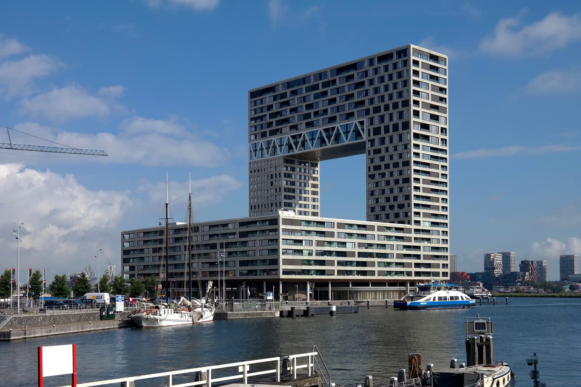
The Silodam stack, the Pontsteiger's horseshoe, and a pirate-TV platform turned restaurant — all on the water.

Photo: Choinowski / Wikimedia Commons, CC BY-SA 4.0

Distance

3.5 km

Time

~ 80 min

Difficulty

Easy

End

Danzigerkade (bus)

Best at

evening

Right now
21°C· Overcast

Open in Maps for turn-by-turn, or take it offline as GPX.

Amsterdam's western harbour spent a century shipping timber and grain, and is now the most argued-over new address in the city — which makes it a good place to walk and take sides. Three and a half kilometres along reclaimed dock water, best in the evening, when the IJ goes the colour of pewter and the towers light up one window at a time.

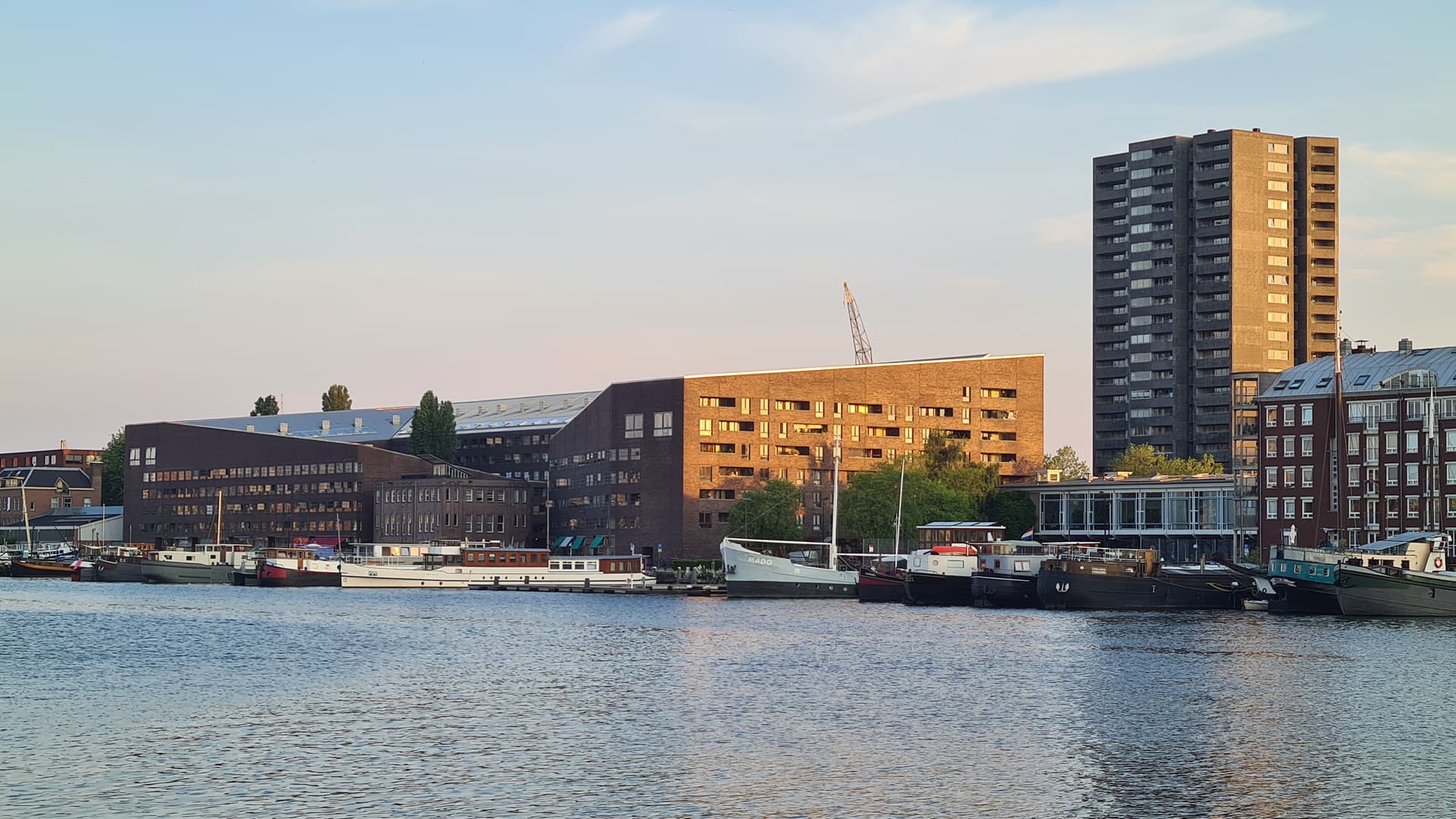
Start at the Silodam, MVRDV's housing block that looks like a container ship someone forgot to unload — a stack of coloured boxes, every floor different. Beside it, the original grain silos still stand, converted to flats; walk the gap between them and you've walked a hundred years. North to the Pontsteiger, the horseshoe tower with the sky punched clean through it. You don't need to hunt for the viewpoint inside; standing under the arch as it frames the water does the work.

Then out onto the Houthavens islands — boardwalks, bridges, new brick — and round to REM Eiland, the 1964 pirate-television platform now standing on legs over the harbour as a restaurant. Land on the Danzigerkade, where the new west runs straight into the working docks, and catch the bus from there.
The route

On the map.

Elevation

65 m·68 m·-38 m ASL

Stops along the way

Things to notice.

  1. 01
    1

    Silodam

    MVRDV's housing block reads like a container ship moored to the quay — a stack of coloured boxes, no two floors alike. Stand on the water side and count the changes of cladding.

  2. 02
    2

    Old grain silos

    Beside the new block, the original brick-and-concrete grain silos still stand, now flats. The walk's whole argument is in the gap of a century between the two buildings.

  3. 03
    3

    Pontsteiger

    The horseshoe tower with the sky punched through its middle. You don't have to find the public viewpoint to feel it; just stand under the arch where it frames the IJ.

  4. 04
    4

    Houthavens islands

    The new residential islands, all boardwalks and bridges over reclaimed dock water. Take whichever jetty looks emptiest; they all loop back.

  5. 05
    5

    REM Eiland

    The 1964 platform that broadcast the Netherlands' first commercial television from outside territorial waters, towed here and turned into a restaurant. Even shut, the red-and-white legs are the strangest thing on the harbour.

  6. 06
    6

    Danzigerkade

    Land on the working edge where the new west meets the still-industrial Minervahaven. The contrast is the reward; the bus home runs from here.

Good to know

Before you go.

How long is the Houthavens: the new harbour west walk?
About 3.5 km — roughly 80 minutes at an unhurried pace, plus however long you linger.
Where does it start and end?
It starts at Tasmanstraat / Zoutkeetsgracht (tram 3 / bus 48) and ends at Danzigerkade (bus).
Is it free?
Yes. It's a self-guided route — free to follow, with no guide to book and nothing to pay.
When is it best?
It's best in the evening.