walkwalk.
Nyboder: the navy's yellow row houses
heritagepocket

Nyboder: the navy's yellow row houses

Christian IV's 1631 sailors' housing, still residential, in the iconic yellow.

Drafted by Claude — the editor hasn’t walked this one yet. We’ll update this notice once it’s been verified on the ground.

Distance

2.5 km

Time

~ 75 min

Start

Kongens Nytorv metro (M1/M2/M3/M4)

End

Østerport S-tog (also M3)

Best at

afternoon

Right now
23°C· Partly cloudy

Open in Maps for turn-by-turn, or take it offline as GPX.

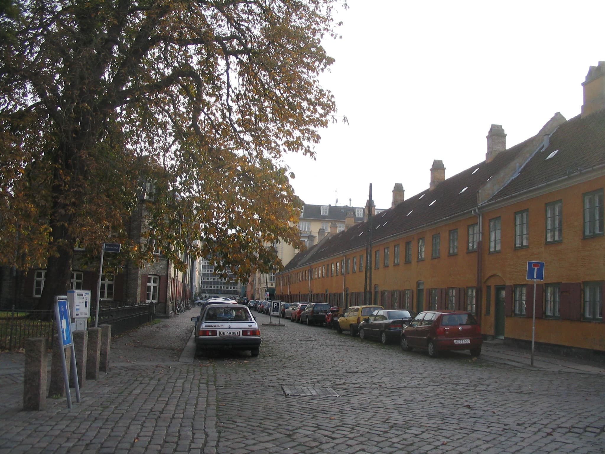
Nyboder is the navy's housing. Christian IV laid out the original yellow row houses in 1631 to keep his sailors close to the harbour and out of the alleys of the city, and four centuries later most of the original streets are still residential — some Royal Danish Navy, some private. The walk threads through the yellow on a quiet afternoon when the streets feel like a small Dutch village dropped a few minutes' walk from the royal palace.

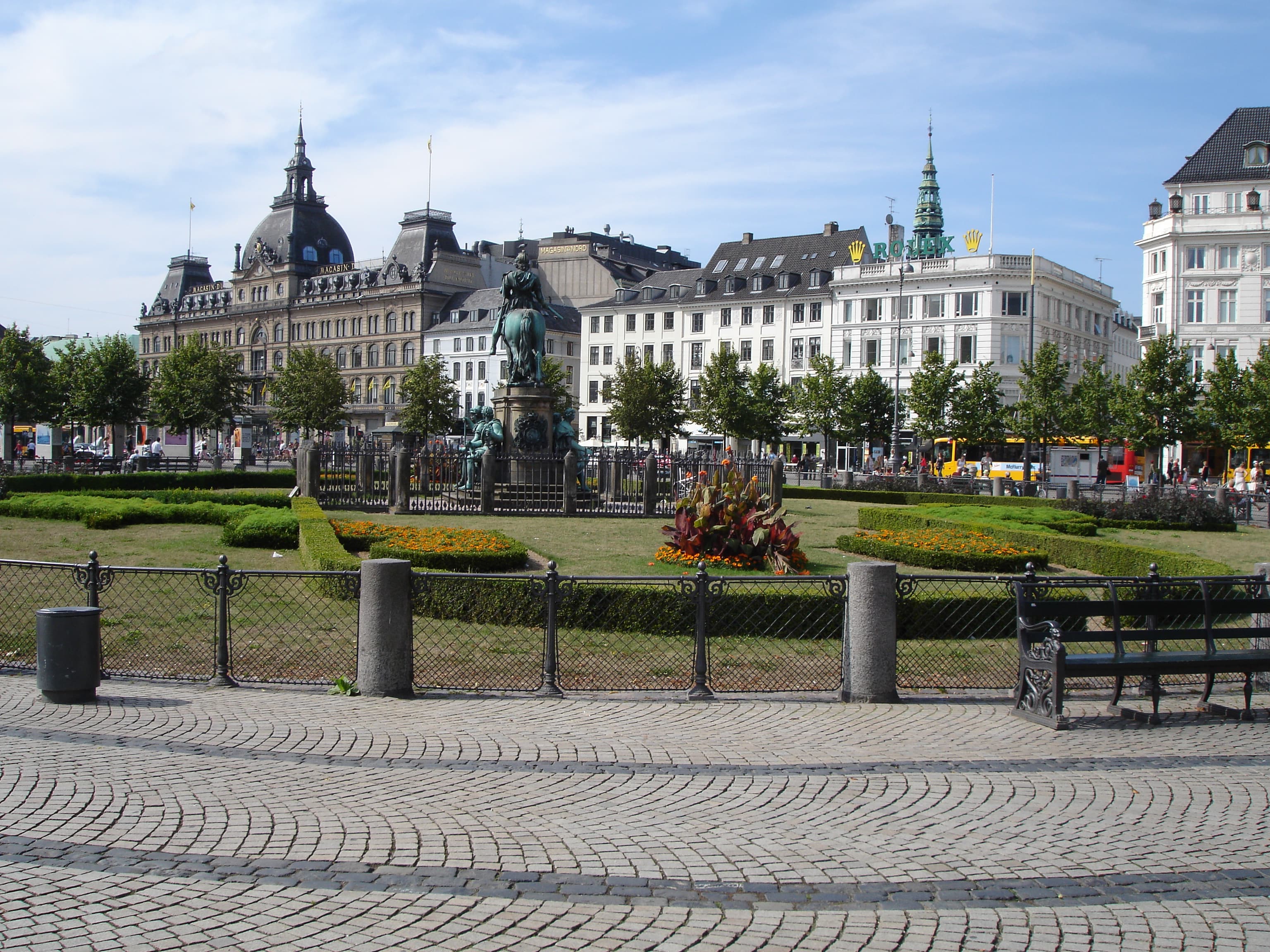
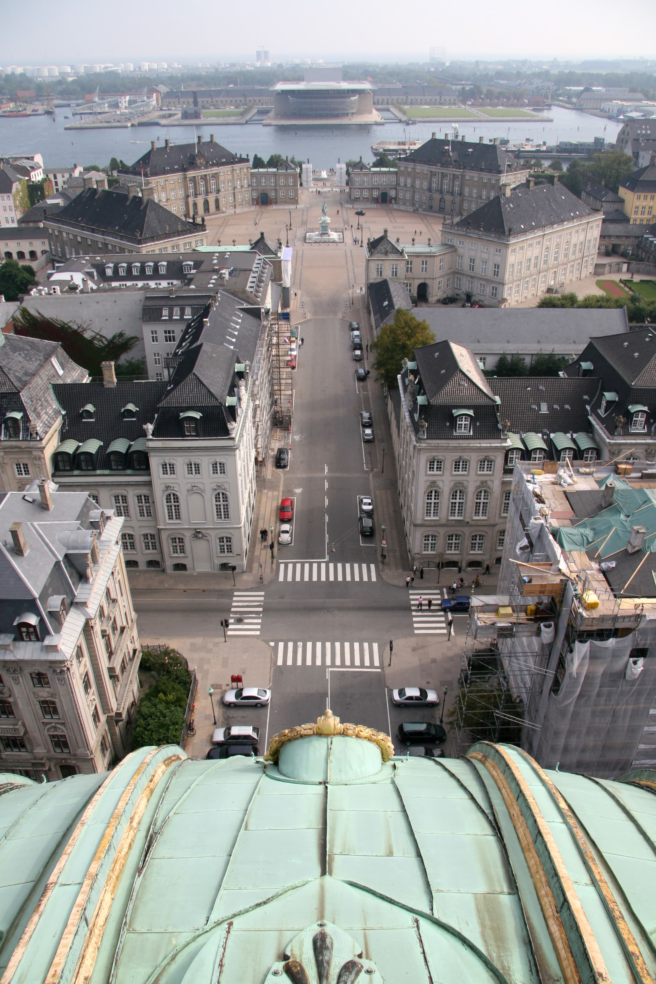
Two and a half kilometres, seventy-five minutes. Start at Kongens Nytorv and walk north through Bredgade to the back side of Marmorkirken — the dome that closes the Amalienborg axis is visible from most of Nyboder. St. Pauls Plads and St. Pauls Kirke mark the start of the yellow streets.

Then Sankt Pauls Gade, the canonical Nyboder row — unbroken yellow on both sides, white-painted shutters, low doors that someone has just locked or just opened. Nyboder Mindestuer (the Memory Rooms) at number 20 keeps one original house as a 19th-c sailor's home, museum-style.

Continue north-east; the streets eventually open onto the harbour edge near Esplanaden. Østerport S-tog is fifteen minutes north.

The route

On the map.

Stops along the way

Things to notice.

  1. 01
    1

    Kongens Nytorv

    Metro at the eastern end of Strøget — M1/M2/M3/M4 all stop here. Walk north on *Bredgade* through the eighteenth-century noble palaces (the warm-up); *Marmorkirken*'s dome is the landmark to aim for, roughly ten minutes.

  2. 02
    2

    Marmorkirken back side

    The Marble Church's back-side view is the one Nyboder residents see most often. The dome rises above the rooftops with no axial composition — just there, the largest dome in Scandinavia, framed by the yellow walls of the surrounding streets.

  3. 03
    3

    St. Pauls Plads + St. Pauls Kirke

    The square that gives Nyboder its parish church. *St. Pauls Kirke* (1877) is the modest red-brick spiritual centre of the neighbourhood; *St. Pauls Plads* in front is where the 1A bus drops you if you skip the *Bredgade* walk-up.

  4. 04
    4

    Sankt Pauls Gade

    The canonical Nyboder row. Christian IV's 1631 yellow rebuilt and repainted across the centuries (the original was built in different colours — the all-yellow Nyboder is a 19th-c standardisation). Walk slowly. The streets are residential; private back gardens behind; no traffic to speak of.

  5. 05
    5

    Nyboder Mindestuer

    Number 20 *Sankt Pauls Gade*. One of the original Nyboder houses preserved as a 19th-c sailor's home — kitchen, parlour, bed-recess — exactly as a family of six would have lived. Small entry fee, intermittent hours; check before going.

  6. 06
    6

    Harbour edge → Østerport

    Walk north-east through *Kronprinsessegade* and the streets around it; the row houses give way to 19th-c apartment blocks before the harbour opens at *Esplanaden*. *Østerport* S-tog is the closing stop — also served by M3 Cityringen.