walkwalk.
Strøget end-to-end: the longest pedestrian street and its alleys
heritagearchitecture

Strøget end-to-end: the longest pedestrian street and its alleys

Europe's longest pedestrian street, walked for pace and architecture, with one detour into the alleys.

Drafted by Claude — the editor hasn’t walked this one yet. We’ll update this notice once it’s been verified on the ground.

Distance

3 km

Time

~ 90 min

Start

Rådhuspladsen metro (M3)

End

Kongens Nytorv metro (M1/M2)

Best at

morning

Right now
23°C· Partly cloudy

Open in Maps for turn-by-turn, or take it offline as GPX.

Strøget is Europe's longest pedestrian street — 1.1 km from Rådhuspladsen in the west to Kongens Nytorv in the east, car-free since 1962. The walk isn't for shopping. It's for the pace of a city centre that took the cars out before anywhere else did and never put them back.

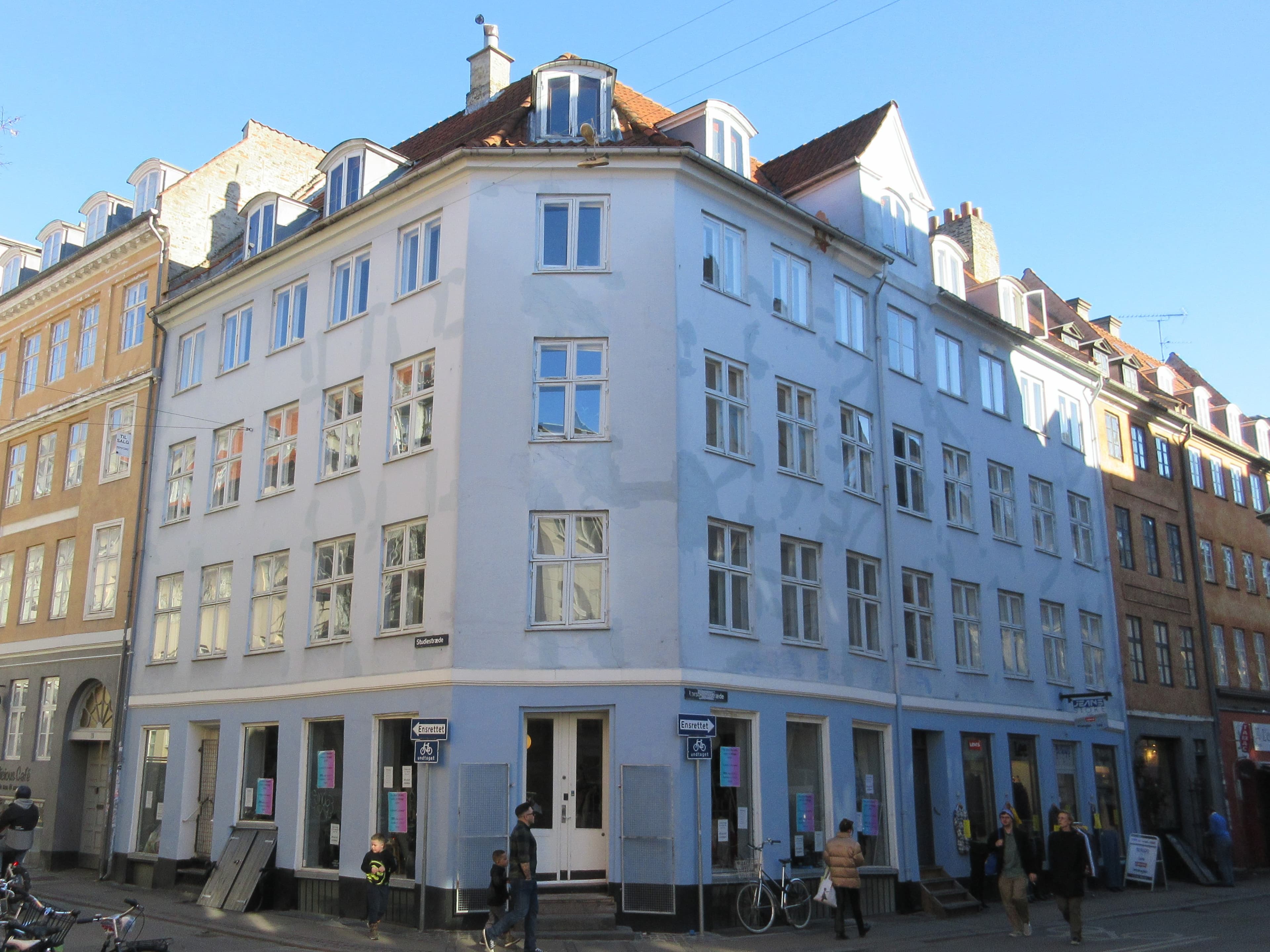
Three kilometres, ninety minutes including the side-alley detour. Start at Rådhuspladsen: the brick neo-Renaissance city hall, the bronze dragon on the fountain, the daily rhythm of the city already arriving for coffee. Walk east. The first stretches — Frederiksberggade, then Nygade, then Vimmelskaftet — read late-Renaissance through to 19th-c bourgeois, with pedestrians and cyclists moving at walking pace and the buildings doing the actual show.

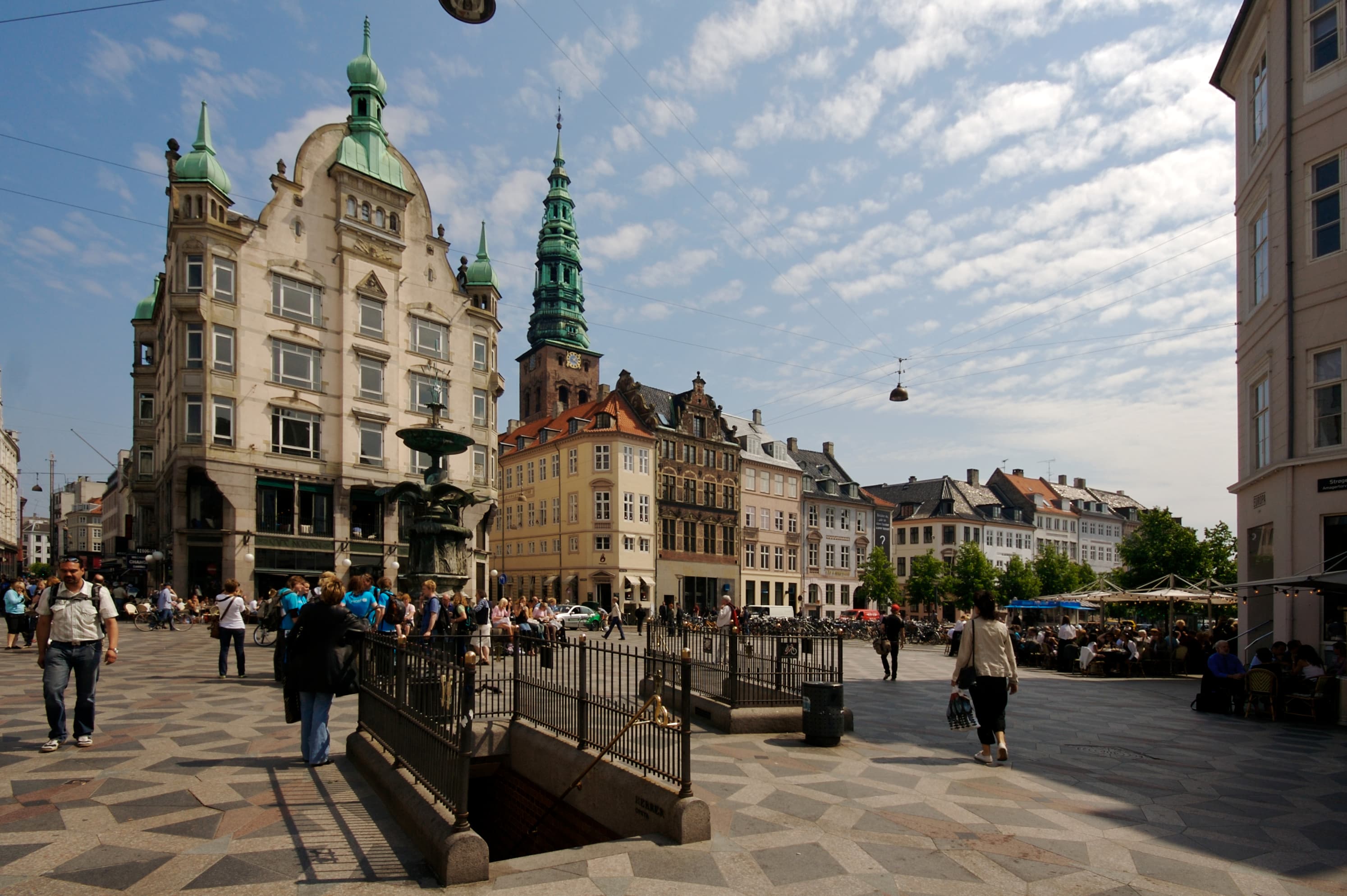
Pisserenden is the detour. Cut north for a few blocks of small design shops and quiet cafés — the alleys that escaped the Strøget pedestrianisation by being too narrow to matter to cars. Come back south to Amagertorv at the Stork Fountain, the rendezvous point.

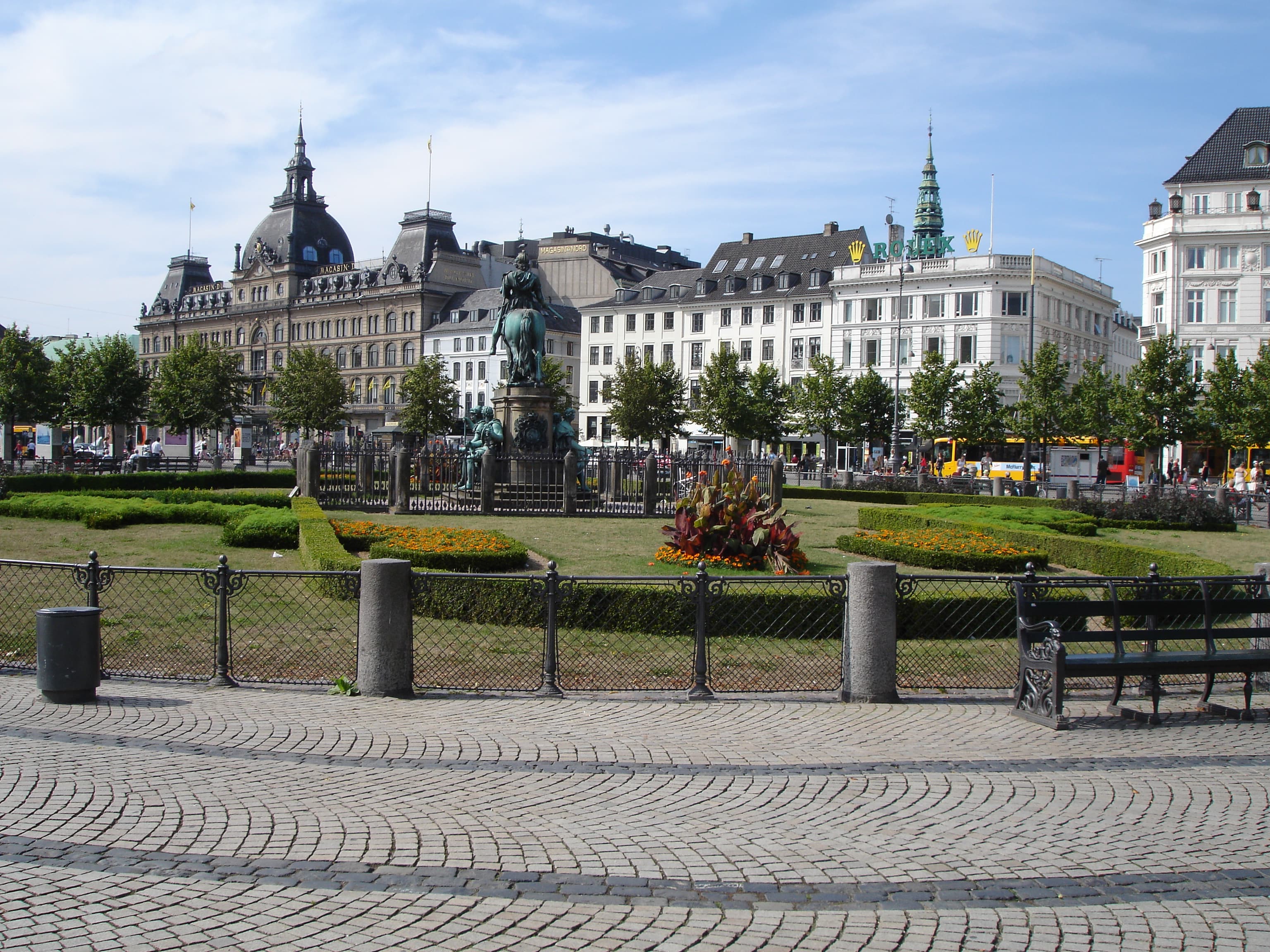
End at Kongens Nytorv — the king's new square, Christian V on horseback in the centre, Nyhavn opening north toward the harbour. Cityringen metro right there.

The route

On the map.

Stops along the way

Things to notice.

  1. 01
    1

    Rådhuspladsen

    Cityringen metro at the entry point. Martin Nyrop's 1905 neo-Renaissance city hall faces the square; the bronze Dragon Fountain in front is the meeting point Copenhagen uses without thinking. Strøget starts here, due east — the first arrow on every pavement points the way.

  2. 02
    2

    Frederiksberggade — Strøget begins

    The first hundred metres of *Strøget*: fast-fashion at street level, the upper floors reading 17th-c through to 19th-c bourgeois. Walk slowly. The point is the pace; you're moving with locals, not against them.

  3. 03
    3

    Pisserenden

    Cut north into the alley quarter — *Larsbjørnsstræde*, *Studiestræde*, the lanes between *Vor Frue Kirke* and the canal. Design shops, second-hand bookshops, three-table cafés on cobbles. The neighbourhood escaped Strøget's pedestrianisation by being too narrow for cars in the first place.

  4. 04
    4

    Amagertorv and the Stork Fountain

    Back onto Strøget at the central square. The Stork Fountain (*Storkespringvandet*, 1894) is the rendezvous point Copenhagen actually uses; the Royal Copenhagen porcelain flagship and Illums Bolighus sit at the corners. The crowd thickens here at midday — earlier is better.

  5. 05
    5

    Højbro Plads and the bridge

    Cut south for a hundred metres to *Højbro Plads*. Bishop Absalon — the warrior-bishop who founded Copenhagen in 1167 — sits on his bronze horse looking across to *Slotsholmen* where the parliament is. The *Højbro* bridge (literally *high bridge*) crosses the canal at his feet.

  6. 06
    6

    Kongens Nytorv

    The eastern end of the spine. Christian V on horseback in the centre, *Charlottenborg* art academy on the south side, *Det Kongelige Teater* on the east, *Nyhavn* opening to the north. Cityringen metro back to anywhere; the M1/M2 also lands here.