Skip to content
walkwalk.
Águas Livres: the great aqueduct and the water cistern
monumentalheritage

Águas Livres: the great aqueduct and the water cistern

Thirty-five arches across a valley, and the cathedral-like cistern they fed.

Photo: Terry Kearney / Wikimedia Commons, CC0

Drafted by Claude — the editor hasn’t walked this one yet. We’ll update this notice once it’s been verified on the ground.

Distance

3.2 km

Time

~ 80 min

Difficulty

Moderate

End

Rato (metro, yellow line)

Best at

afternoon

Right now
19°C· Partly cloudy

Open in Maps for turn-by-turn, or take it offline as GPX.

For most of the eighteenth century, Lisbon's great public project wasn't a palace — it was getting clean water across a valley. The Aqueduto das Águas Livres did it with thirty-five arches that survived the 1755 earthquake intact, and it still strides across the Alcântara valley as if the city were built around it. This is the walk along its length, ending in the room where the water arrived.

Start at Campolide, where the arches step off the high ground, and work along the valley side to where the aqueduto (aqueduct) stands at full height — the central arch sixty-five metres up, the whole run nearly a kilometre. The walkway across the top has been shut since the 1850s, so this is a look-from-below walk; find the spot where the arches cut clean across the sky and stay there a minute.

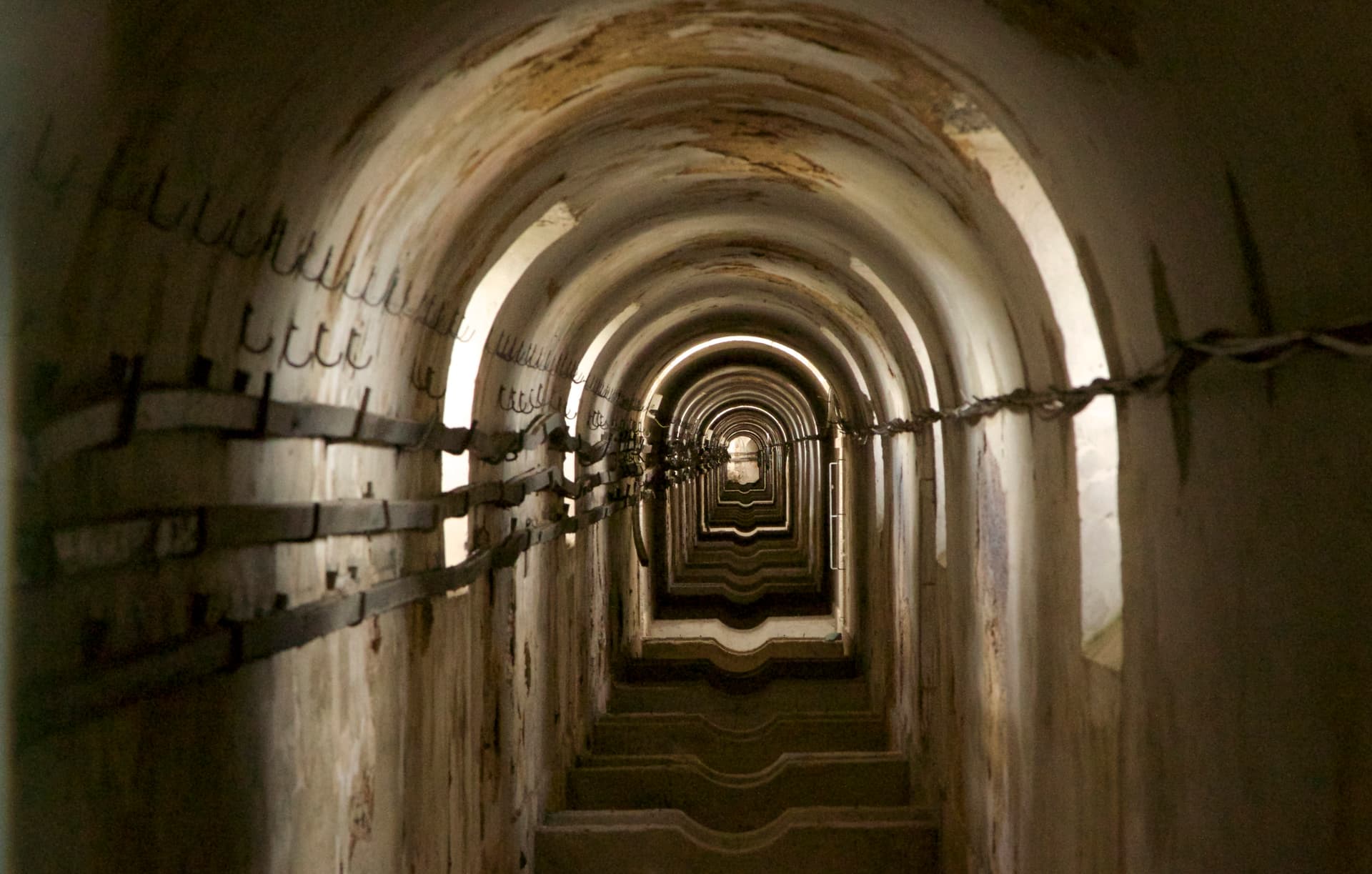
Then climb east, following the arches as they lower into the city and vanish underground, to the Mãe d'Água das Amoreiras — a cistern the size of a small church, the water still black and silent inside, a roof terrace on top. End in the Jardim das Amoreiras under the mulberry trees, Rato and the metro five minutes down.

The route

On the map.

Elevation

151 m·133 m·48130 m ASL

Stops along the way

Things to notice.

  1. 01
    1

    Campolide

    Get out at the station and look up — the aqueduct comes straight at you across the rooftops. This is the workaday end, where the arches step down off the high ground into the valley.

  2. 02
    2

    The arches over the Alcântara valley

    Walk along the valley side to where the *aqueduto* (aqueduct) is at full height — thirty-five arches, the central one sixty-five metres tall. The walkway along the top has been shut since the 1850s, so this is a look-up-from-below walk; find the angle where the arches march clean across the sky.

  3. 03
    3

    Up the valley side

    Climb the streets that shadow the arches east towards Amoreiras. The aqueduct keeps appearing between buildings, lower each time, until it slips underground and you're in the city again.

  4. 04
    4

    Mãe d'Água das Amoreiras

    The end of the line for the water — a stone cistern the size of a small church, the water still black and still inside. Climb to the roof terrace for the view. The single best room on this walk, and almost no one's in it.

  5. 05
    5

    Jardim das Amoreiras

    The square outside, with its old mulberry trees and a *quiosque* (kiosk) for a coffee in the shade. Sit a moment under the trees that gave the place its name before the last short stretch.

  6. 06
    6

    Rato

    Five minutes downhill to the metro. An ordinary junction to end on, but you've just walked the length of how an eighteenth-century city solved the problem of being thirsty.