walkwalk.
Christiania: the 1971 freetown on its own terms
quirkyheritage

Christiania: the 1971 freetown on its own terms

The autonomous commune on the former military barracks — architecture, history, the lake, and a paved-over Pusher Street.

Drafted by Claude — the editor hasn’t walked this one yet. We’ll update this notice once it’s been verified on the ground.

Distance

2.5 km

Time

~ 90 min

Start

Christianshavn metro (M1/M2)

End

Christianshavn metro (M1/M2)

Best at

afternoon

Right now
23°C· Partly cloudy

Open in Maps for turn-by-turn, or take it offline as GPX.

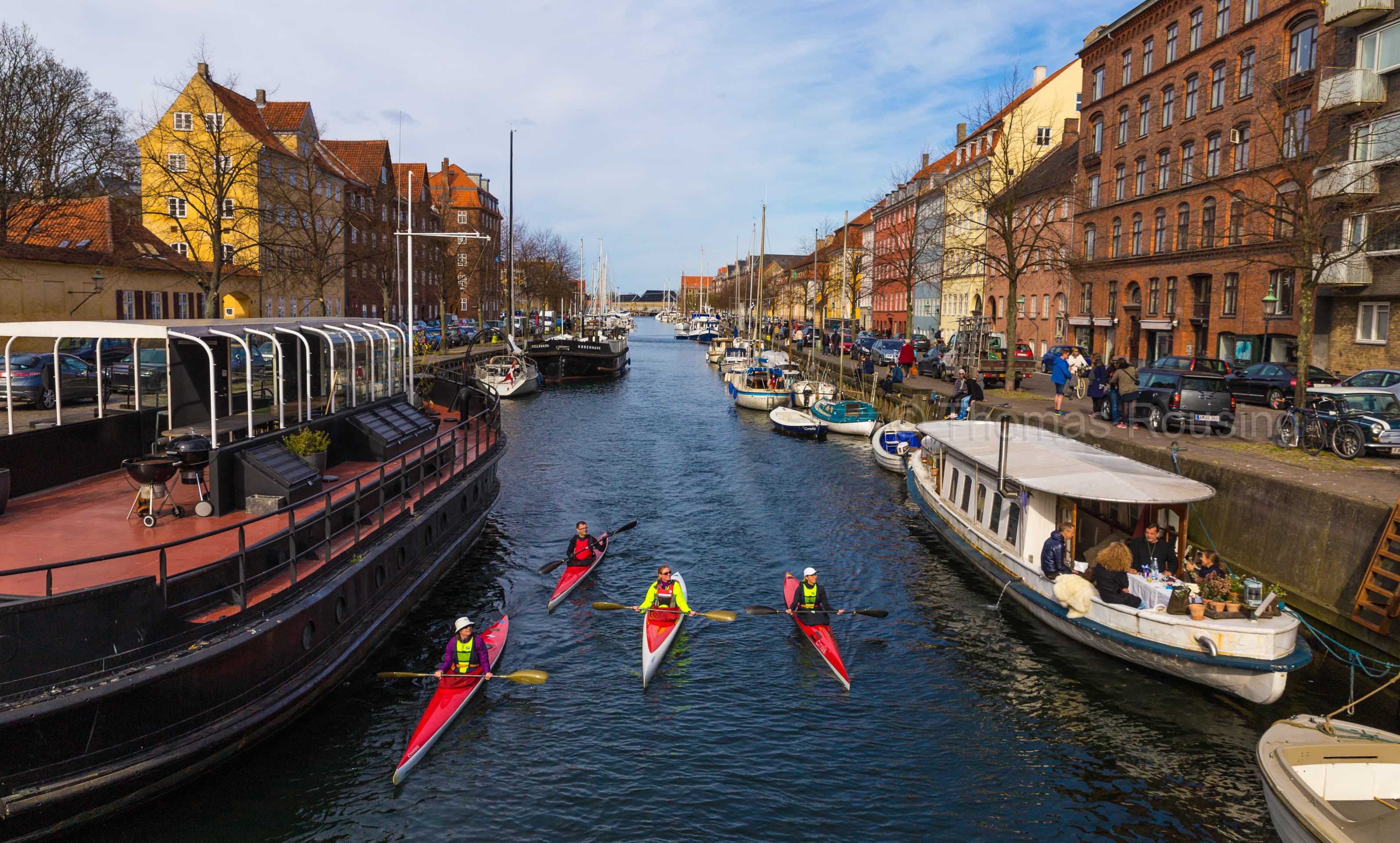
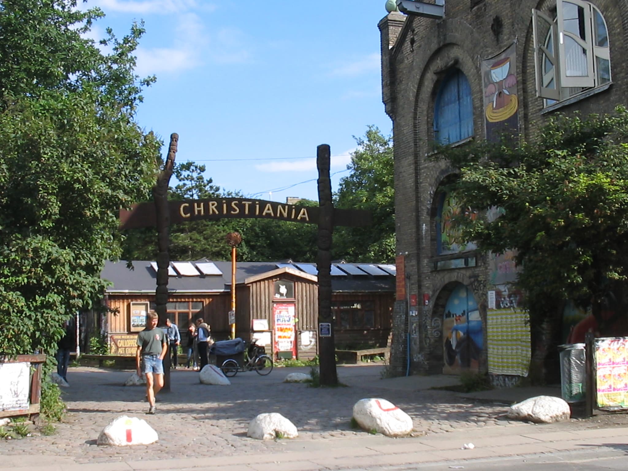
Christiania is the 1971 freetown — the commune on the former Bådsmandsstrædes Kaserne military barracks east of Christianshavn, declared autonomous by the squatters who moved in that September and still functioning fifty-five years later as one of Europe's longest-running social experiments. A thousand or so residents, eighty-something acres, self-built architecture, complicated legal status, a lake walk that's one of the city's quietest. Pusher Street — the open cannabis-trade strip that defined the place to outsiders for decades — was paved over by residents in April 2024 to end the gang violence; what follows is what's been there all along.

Two and a half kilometres, ninety minutes at a slow pace. Christianshavn metro lands you a few minutes from the main gate. Photography is restricted in some areas; ask if unsure.

The self-built houses begin a few minutes in. Wooden, painted, built by hand over decades — Den Grå Hal is the central concert venue, the lakeside huts are the residential heart, Stadsgraven (the former city moat) is the path that gives the walk its quiet. Walk the lake's southern shore.

End at Nemoland or take the back exit toward the metro. The walk doesn't summarise; it just lets you see.

The route

On the map.

Stops along the way

Things to notice.

  1. 01
    1

    Christianshavn metro

    M1/M2 stop. The Christiania main gate is a five-minute walk east on *Prinsessegade*. Bring small cash for coffee or to support the residents' market if it's running.

  2. 02
    2

    Christiania main gate (Prinsessegade)

    The painted arch and the *You are now entering the EU* sign on the way out. Photography is restricted inside the *Pusher Street* area (signs are posted); the rest of *Christiania* can be photographed, but ask if unsure. The community foundation runs occasional guided walks if you want context.

  3. 03
    3

    Pusher Street area (paved over)

    Until 2024 this was the open cannabis-trade strip. Residents voluntarily paved over the street in April 2024 to end the recurring gang violence; the stalls are gone, the cobblestones are new, and the community's conversation about what comes next is ongoing. Walk through; don't linger for photos.

  4. 04
    4

    The self-built houses

    The residential heart. Wooden, painted, built by hand over fifty years — *Bjørnekloen* and the houses along the inner lanes are the iconic self-built architecture. Some are works of folk art; some are a roof in a hurry. The whole spectrum is here. Most are private homes; walk slowly, don't peer in windows.

  5. 05
    5

    Stadsgraven (the lake walk)

    The lake on the southern boundary is the former 17th-c city moat. The path along its shore is one of Copenhagen's quietest walks — willows, lakeside huts, a few canoes pulled up. Twenty minutes end-to-end at a slow pace.

  6. 06
    6

    Nemoland → back to Christianshavn

    *Nemoland* is the outdoor concert venue and café near the main gate, working as a community hub. Exit through the back gate toward *Bådsmandsstræde* to reach Christianshavn metro in five minutes. *Den Grå Hal* (the Grey Hall) is the concert venue in an old barracks building if there's something on.