Skip to content
walkwalk.
Alvalade: the planned city and the market
architecturepocket

Alvalade: the planned city and the market

Lisbon's 1940s model neighbourhood — low blocks, a modernist church, and a neighbourhood market.

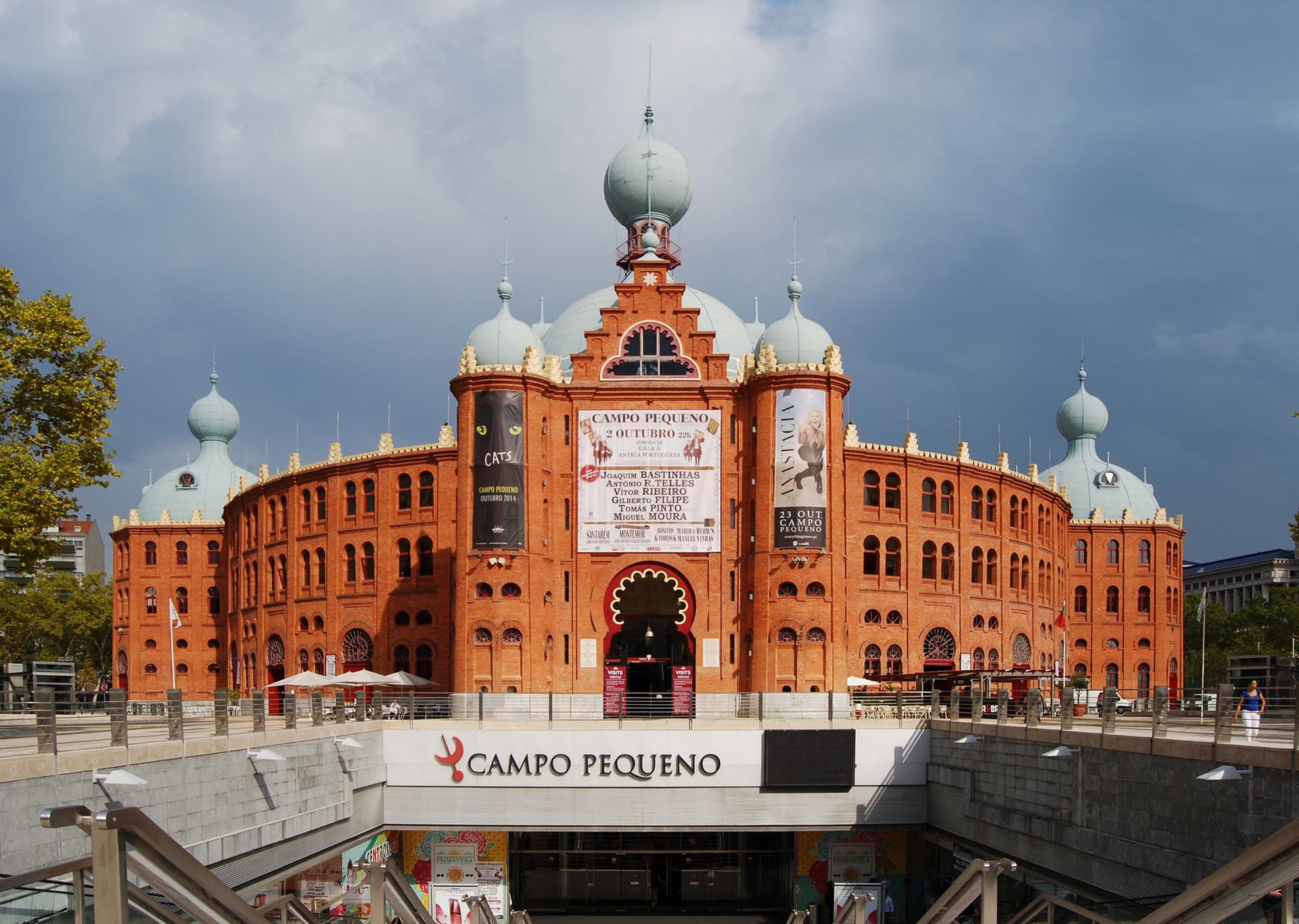
Photo: Vitor Oliveira / Wikimedia Commons, CC BY-SA 2.0

Drafted by Claude — the editor hasn’t walked this one yet. We’ll update this notice once it’s been verified on the ground.

Distance

3 km

Time

~ 75 min

Difficulty

Easy

End

Roma (metro, green line)

Best at

morning

Right now
18°C· Mostly clear

Open in Maps for turn-by-turn, or take it offline as GPX.

Alvalade is an idea made of streets. Laid out in the 1940s as Portugal's first fully planned neighbourhood, it's the Estado Novo's model of how a city should be ordered — low housing blocks, wide tree-lined avenues, each célula (cell) given its own shops and church and garden. It has aged better than its politics, into a calm, walkable bairro with almost no tourists in it.

Start at Alvalade metro and walk out into the grid. Avenida da Igreja is the high street — wide, leafy, full of everyday cafés. Take a bica and a pastel de nata at whichever pastelaria has the local queue, then carry on to the Igreja de São João de Brito, the confident 1950s church the planners set at the centre.

Wander the residential streets from there; the order of the place is the point, and it's the kind of order that turns out to be pleasant to live inside. The Mercado de Alvalade Norte is the morning's anchor — produce, fish, flowers, a few lunch counters — the unselfconscious Lisbon the postcards never reach.

End west at Roma metro. Or don't rush; have a second coffee. Alvalade doesn't reward hurry.
The route

On the map.

Elevation

42 m·36 m·81101 m ASL

Stops along the way

Things to notice.

  1. 01
    1

    Alvalade metro

    Step off and you're in the middle of Portugal's first fully planned neighbourhood, laid out in the 1940s. Walk out into the *bairro* and notice the order of it — the low housing blocks, the deliberate spacing, the trees planted to a plan.

  2. 02
    2

    Avenida da Igreja

    The neighbourhood's high street — wide, tree-lined, lined with everyday cafés and shops rather than tourist traps. Stop for a *bica* (espresso) and a *pastel de nata* at whichever *pastelaria* has the morning queue; that's the local verdict.

  3. 03
    3

    Igreja de São João de Brito

    The neighbourhood church, a confident 1950s building anchoring the *bairro*'s spiritual centre. The monument to the first South Atlantic air crossing stands in front. You don't have to go in; the square reads the planners' intentions plainly enough.

  4. 04
    4

    Bairro de Alvalade housing blocks

    Wander the residential streets — *células*, the planners called them, self-contained cells with their own shops and gardens. This is the *Estado Novo* idea of a model city, aged into something genuinely pleasant to walk.

  5. 05
    5

    Mercado de Alvalade Norte

    The neighbourhood market — produce, fish, flowers, and a handful of counters doing lunch. Mornings are when it's alive. Buy fruit, or just walk the aisles for the unselfconscious everyday Lisbon of it.

  6. 06
    6

    Roma metro

    Head west toward *Avenida de Roma* and the *Roma* station. Green line back into the centre — or linger over a second coffee first; this isn't a neighbourhood that rewards rushing.